
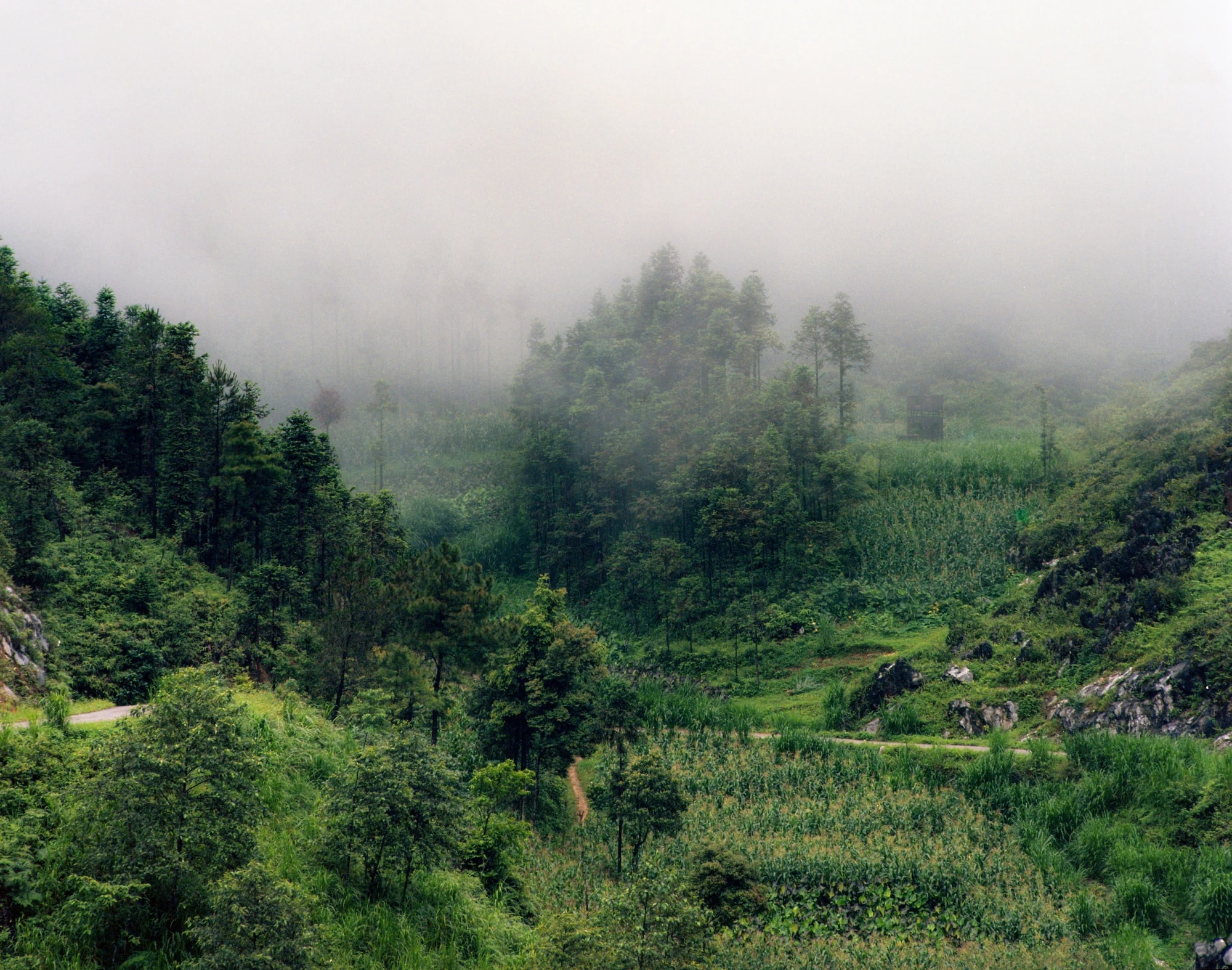
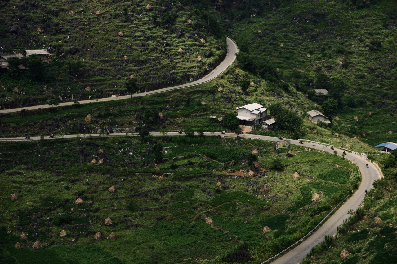
On the road between Yen Minh and Dong Van, the asphalt twists into a long S-shape across rocky hillsides. This is Tham Ma Pass, one of the most recognizable stretches of the Ha Giang Loop and a favorite stop for riders, photographers and anyone who wants to feel the scale of the Dong Van Karst Plateau.
Ben Tran / Pexels License · Source · Adapted
Why Is It Called Tham Ma Pass?
The name comes from Sino-Vietnamese and means roughly “testing horses.” According to local stories, the slope was so steep and long that it exhausted pack horses, and many reportedly gave up before reaching the top. Locals used it to judge a horse’s strength and stamina before trusting it with heavy loads.
Today the road is paved and far easier to travel, but the name keeps the story alive.
Where Is Tham Ma Pass?
Tham Ma Pass sits within the Dong Van Karst Plateau UNESCO Global Geopark, on the route between Yen Minh and Dong Van. It lies on National Highway 4C at the gateway to the former Dong Van District, in what is now Pho Cao commune.
Commonly cited figures describe the pass as about 5 km long and reaching an altitude of around 1,500 meters, with sharp zigzags along the way. Exact numbers vary between guides, so treat these as approximate.
What Makes It Special?
- The S-shaped road. Seen from a viewpoint, the curves of the road make a striking pattern against the gray rock.
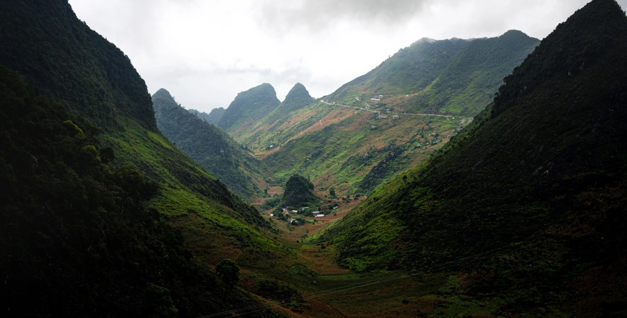
- Karst scenery. Limestone cliffs and rocky outcrops surround the pass, and several geological sites are scattered along it.
- Highland life. H’Mong families have adapted to this rocky environment, growing corn, beans and other crops in small pockets of soil and using stone for building and tools. You may see children walking by the road, sometimes carrying flowers.
Best Time to Visit Tham Ma Pass
The pass can be visited all year, but conditions matter:
- Late September to November is widely recommended for the Ha Giang Loop overall, with clearer skies and the buckwheat flower season starting on the plateau.
- Avoid rain and heavy fog if you can. Visibility drops and the road gets slippery.
- Go in the morning. Light is softer, traffic is lighter, and clouds often sit lower on the hills.
How Tham Ma Fits Into the Ha Giang Loop
Tham Ma Pass usually appears on Day 2 of a typical 3-day itinerary:
- Start the day in Yen Minh.
- Ride or drive over Tham Ma Pass, stopping at one or two viewpoints.
- Continue to Sung La Valley, known for wide fields of flowers in season.
- Visit Sa Phin and the H’Mong King Palace, a mansion built in the early 20th century that now welcomes visitors.
- Finish in Dong Van for the night.
If you are heading to the coast after the loop, our Ha Giang to Cat Ba overnight bus connects the two. Nearby passes worth knowing: Chin Khoanh Pass, with gentle curves between Dong Van and Yen Minh, and Can Ty Pass, a long slope with open views on the Quan Ba–Yen Minh route.
Q. Hưng Phạm / Pexels License · Source · Adapted
Photography and Riding Tips for Tham Ma Pass
To capture great photos and ensure a safe ride along Tham Ma Pass, pull over safely at designated viewpoints to capture the iconic S-curve from above rather than stopping on the road, use soft morning or late afternoon light to highlight the texture of the limestone cliffs, and fly drones only when permitted and weather conditions allow.
Prior to taking on the pass, thoroughly inspect your brakes, use lower gears to control your descent, take wide curves slowly to watch out for oncoming traffic cutting corners, wear proper riding gear, and pack warm clothing layers as temperatures at the summit can drop and winds can pick up significantly.
Ask before photographing people, especially children, and avoid stepping into crops. A small purchase from a roadside stall is a simple way to support local families.
FAQ: Tham Ma Pass Ha Giang
Where is Tham Ma Pass?
In Tuyen Quang Province (formerly Ha Giang Province), between Yen Minh and Dong Van, within the Dong Van Karst Plateau Geopark.
How long is Tham Ma Pass?
Commonly described as about 5 km, though figures differ between sources.
Why is it called Tham Ma?
The name means “testing horses,” referring to the steep slope that once tested the strength of pack horses.
Is Tham Ma Pass dangerous?
It has sharp curves and steep sections, so it demands attention. Ride slowly, avoid wet or foggy conditions when possible, and keep a safe distance from other vehicles.
What is the best time to visit?
Late September through November, ideally in dry weather and in the morning.
Sources and current details
- Ha Giang → Cat Ba — current itinerary, inclusions and today's price
- Sapa / Ha Giang → Lan Ha Escape Cruise 2D1N — current itinerary, inclusions and today's price
- vietnamnet.vn — fact-check source
- vov.vn — fact-check source
Editorial check: 13 November 2026. This guide explains planning choices; the live product page and your written confirmation are what count for availability, current prices and booking conditions.



Comments
No comments yet — ask a question or share a tip below.